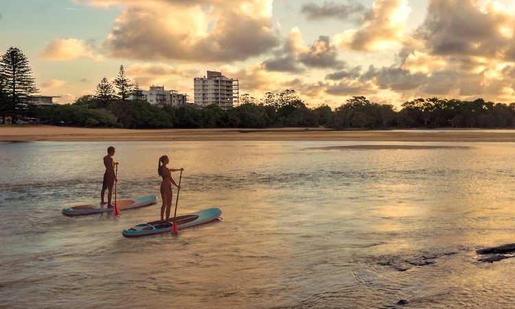
Currimundi Lake
Photo credit: M. Wren
Coastal
Coastal areas extend from our coastal plains and lagoons to our sand dunes and rocky shores.
Our coast supports a variety of habitats including sand dunes, beaches and our rocky shores. It also extends to our near-shore marine waters, reefs, lagoons and high ecological value waters.
Our region’s coastal zone includes the Ramsar-listed Pumicestone Passage and the Mount Coolum, Mooloolah River and Bribie Island national parks. It also supports iconic species, including dolphins, whales, migratory birds, the vulnerable dugong and green turtle, and the endangered loggerhead turtle.
Locals and visitors continue to value our coastal landscape. They enjoy activities such as swimming, surfing, fishing and snorkelling. Coastal parklands and the coastal pathway, which stretches from Pelican Waters to Tewantin, are also very popular. Our coastal areas are highly utilised. As a result, a large number of council assets (i.e. parks, amenities blocks and barbecues) are located in our coastal zone.
Our coastal foreshores are dynamic and change over time. This is in response to waves, ocean currents and wind causing sand movement and erosion.
You may also be interested in
Waterways and wetlands
Waterways and wetlands are our rivers, canals, lakes and water bodies.
Flooding and stormwater
Flooding occurs when water flows over land that is normally dry. Stormwater is runoff from rainfall.
Adaptation and resilience
Adaptation and resilience is our community’s ability to respond and adapt to a changing climate.