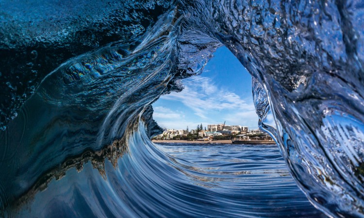
Kings Beach Photo credit: N. Brady
Our Resilient Coast. Our Future
Sunshine Coast better prepared for coastal hazards.
Our coastal areas form an integral part of our Sunshine Coast identity and lifestyle, and are fundamental to the future of our economy.
In May 2021, council endorsed our region's Coastal Hazard Adaptation Strategy - a long term blueprint for preparing and protecting our coastal areas and communities from coastal hazards into the future.
Coastal hazards include:
- erosion of our beaches
- seawater inundation of land due to storm surges (short or long-term)
- expanding tidal areas due to sea level rise.
View an introduction to the Strategy.
The Strategy consists of 3 parts:
- Part A – Coastal Hazard Adaptation[16826KB]
- Part B – Coastal Hazard Maps and Supporting Information[16881KB]
- Part C – Five-Year Implementation Plan[14189KB] .
Background
The Sunshine Coast is a highly desirable place to live, work and play. Our coastal environments, including our headlands, estuaries and beaches, contribute to this strong reputation and identity.
Whether rapid or gradual, change is a fact of life on the Sunshine Coast, as it is across the globe. As we grow, responding to coastal hazards is one of the many challenges that needs to be planned for. This will help us deliver a healthy environment and liveable Sunshine Coast now and over the longer term.
Our Resilient Coast. Our Future is the program created by council to guide the development and implementation of council’s Coastal Hazard Adaptation Strategy.
This strategy is a regional risk assessment and change management initiative to better prepare council and the community to proactively respond to, and mitigate (and where required, adapt to) risks associated with coastal hazards.
Community engagement
The strategy was developed in collaboration with the community and key industry groups. Feedback received informed the direction of technical assessments and development of the adaptation options and pathways in the Strategy.
Coastal hazard mapping
See how the coastal hazard risk for our local government area could change over time - view our updated coastal hazard maps. Maps are provided for present day, 2041, 2070 and 2100 for the three coastal hazards of open coast erosion, expanding tidal areas and storm tide inundation.
Note: The coastal hazard mapping undertaken for council’s Coastal Hazard Adaptation Strategy will be referenced by the State Government following appropriate state approval processes. Until that time, the current State Government declared coastal hazard mapping applies to development.
Contacts
For more information, please send your inquiry to [email protected].
Becoming a well-adapted and resilient community is a long-term plan that requires ongoing effort by everyone in our community. We look forward to working together as we continue the adaptation journey
You may also be interested in
Adaptation and resilience
Adaptation and resilience is our community’s ability to respond and adapt to a changing climate.
Coastal
Coastal areas extend from our coastal plains and lagoons to our sand dunes and rocky shores.
Climate change
We’re addressing climate change in a progressive and responsive way.